If you are a business using Dynamics 365 and have discovered the power of location-based intelligence, you would be keen to apply it to your CRM data and make critical analytical decisions. Due to their relevance, geographies-based strategies garner more response, footfalls, and acceptance. The best tool that studies geographies optimizes CRM records based on them, and helps with advanced decision-making is Maplytics!
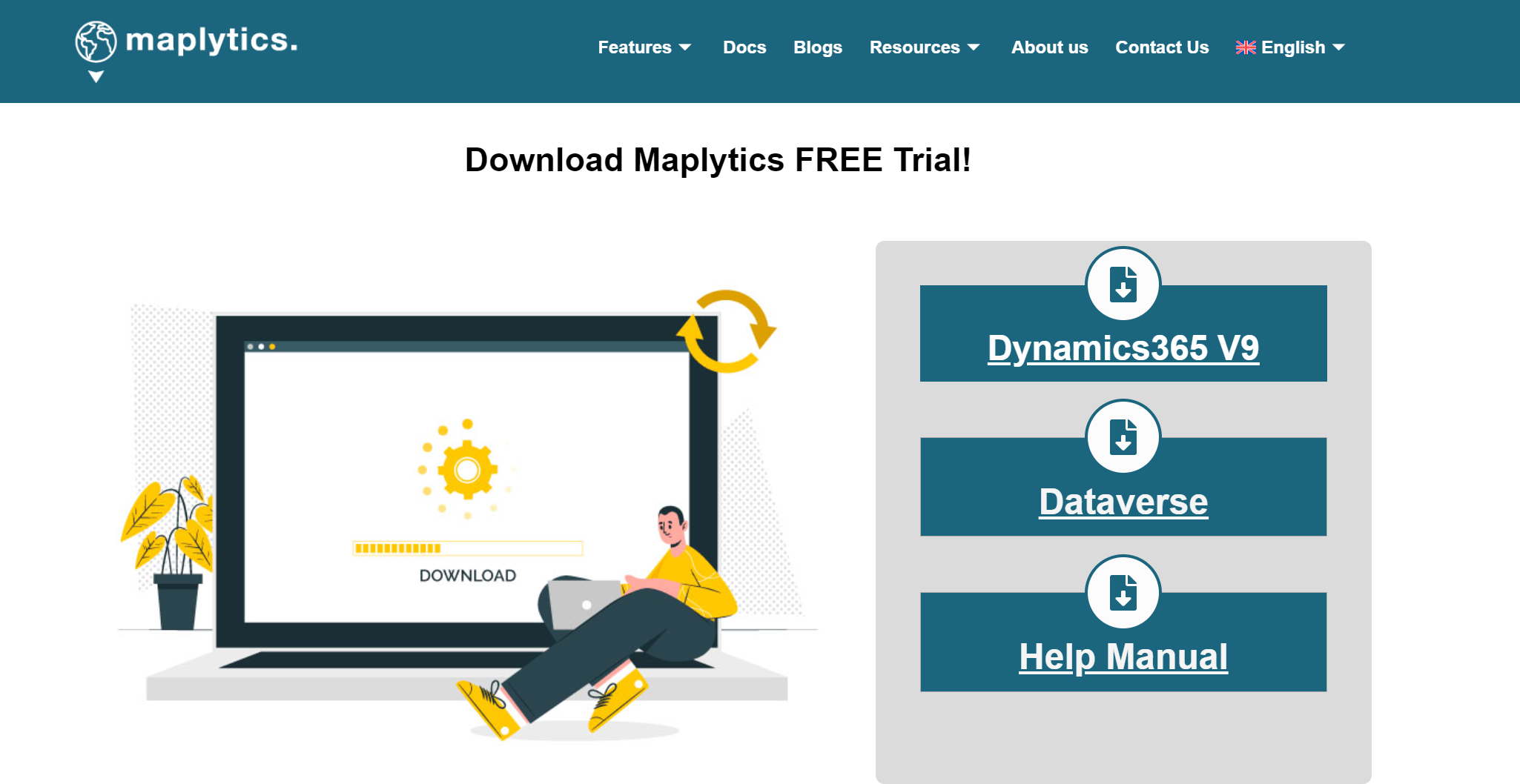
Maplytics by Inogic is a certified geo-mapping application that integrates seamlessly with Dynamics 365 / Dataverse / Power Apps. It is compatible across devices such as desktops, laptops, tablets, and mobiles, and is available in 10+ global languages. You may want to discover Maplytics further and explore it. Well, you can start a free trial of 15 days and experience it first-hand with Dynamics 365 Sales, Customer Service, Field Service, and Dataverse.

Maplytics Technical Docs –
Once the download is successful, one can refer to these in-depth documents for A-Z working of the application. Some important features of Maplytics covered in the document are-
Plotting of Records on maps– The CRM records get plotted on the integrated Map based on the latitude and longitude of the record location in the form of pushpins. These can be viewed and worked upon....Read more>>
The post Where do I go if I have questions about Dynamics 365 CRM Maps integration?
This was appeared first on Blog | Maplytics.


 Like
Like Report
*This post is locked for comments